Worcestershire · UK-wide coverage

Area Measurement
Accurate floor areas, measured on site and reported to RICS standards, reliable figures for valuations, leases, service charges and marketing.
Floor areas you can rely on
The floor area of a property underpins some of the biggest numbers attached to it: its valuation, its rent, its service charge apportionment and its marketing particulars. An area measurement survey (sometimes called area referencing) establishes those areas accurately, from measurement taken on site rather than scaled from old plans.
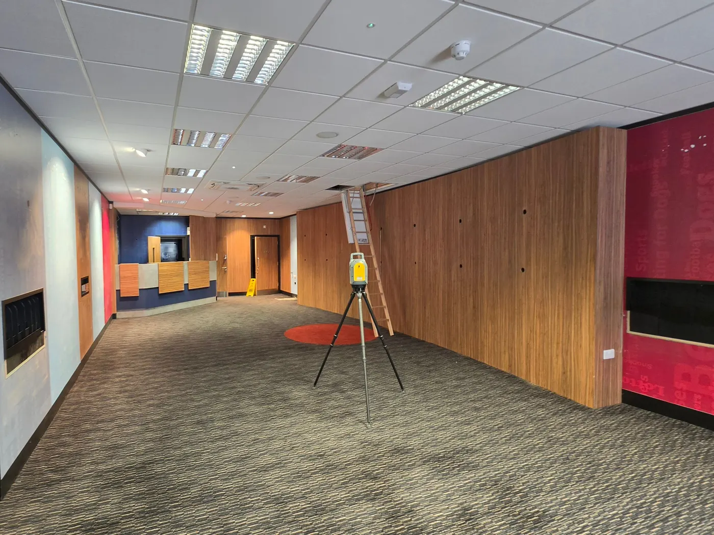
We capture each floor with 3D laser scanning and survey-grade instruments, then calculate and report the areas your purpose requires, measured in line with the RICS Code of Measuring Practice. Where a transaction needs more than one basis, we can report on each.
What we measure
GEA (Gross External Area)
The whole building measured to the outside face of external walls, used for planning applications, building cost estimates and council tax banding.
GIA (Gross Internal Area)
The internal footprint measured to the inside face of external walls, the standard basis for industrial, warehouse and retail warehouse valuation, and for build cost work.
NIA (Net Internal Area)
The usable space within a building, excluding cores, plant and circulation, the traditional basis for office and shop lettings and rent review.
Site areas
Land and development site areas scheduled in hectares and acres, for appraisal, marketing and legal packs.
When accurate areas matter
- Valuations and secured lending: giving valuers a measured, standards-compliant basis for their figures
- Lease negotiations and rent reviews: areas both parties can rely on, on the measurement basis the lease specifies
- Service charge apportionment: fair splits across tenants based on measured, not assumed, areas
- Sales and marketing particulars: floor areas that stand up to a buyer’s own survey
- Business rates: measured evidence to support rating checks and appeals
- Development appraisal: reliable existing areas as the starting point for feasibility work
How we work
Tell us the property, the purpose and the measurement basis you need, or ask and we’ll advise which basis fits. We measure on site using 3D laser scanning, so the visit is quick and the record is complete, then calculate areas from the registered data in the office with every figure checked before issue.
Because the scan captures the whole building, revisiting a figure later (a different basis, an added floor, a revised demise) rarely needs another site visit.
Deliverables
You receive a clear area report: floor-by-floor plans showing what has been included and excluded, with an area schedule in square metres and square feet on the agreed basis. Reports are supplied as PDF, with CAD (DWG) floor plans available.
Frequently asked questions
It depends on the property type and the purpose. Offices and shops are typically measured to NIA, industrial and warehouse space to GIA, and planning or cost work generally uses GEA. If you’re not sure, tell us what the figures are for and we’ll recommend the right basis, or report on more than one.
Existing plans are often out of date, drawn for a different purpose, or simply optimistic. When money turns on the number (rent, value, service charge), a measured survey removes the doubt, and our reports show exactly what was included so the figure can be defended.
Very little. Laser scanning needs only a few minutes in each area, and we plan visits around occupiers and business hours. Occupied offices, shops and industrial units are routine work for us.
Yes, the same site visit can produce a full measured building survey, and lease areas pair naturally with Land Registry compliant lease plans. Combining them saves both time and cost.
Fixed quotes, usually within 1 working day.
Or call 01684 259952 · info@preciselandsurveys.co.uk